By Jarkko Piippo, Digital Solutions, Frostibit Lab, Lapland UAS
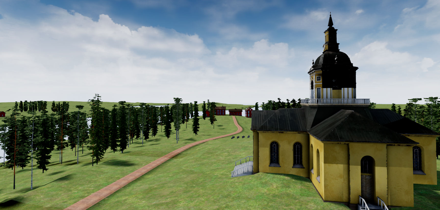
The goal of Alatornio church 3D modelling project is to produce a virtual reality scenario where the user will be able to experience how it was to measure landscape in the historical 1800 century environment. With the project we can raise awareness of the Struve Geodetic Arc excursion and how scientists and other people who joined the journey managed to do it all so many years ago. Virtual reality is excellent way to showcase projects where the users will be able to see and experience different scenarios that are normally almost impossible to experience.

In this Alatornio church visualization the user will be able to see what the Alatornio area was like in the early 1800 century. With the use of historical documents we are able to create virtual version of the world of that era for the users to experience. Modern technology also enables lot more than just viewing the scenery. Using the virtual reality headsets and game technologies together the users can also interact with the equipment that have been created. In this virtual reality scenario users can use the measuring devices appropriate to the era.
Producing the content for projects like this usually starts from making the 3D models. Modelling the Alatornio church started by gathering the reference material for it. Luckily the church has been practically unchanged from the day it was built so the photos of modern-day church will do just fine. Using the photographs will help to get the 3D model to right scale. In the historical archives there are lots of other little facts from that era that can be found, like colour of the walls etc. Archives will provide also lots of details from the surrounding areas. There are drawings, town plans and other materials that can be used to create the visuals for Alatornio of that era. With all these materials we can create convincing visualization of the 1800 century Alatornio.
For the environment we can use more of the modern-day data. From National Land Survey Finland we can get laser scanned data from any point of Finland. Because Alatornio is so close to the Swedish border we need topographical data from there as well. This data comes from Swedish side land surveying organization “Lantmäteriet”. Eventually both scan data’s need to be combined to one data so that it can be imported to the game engine. Using this data it is possible to create accurate visualization even from the larger areas. When this topographical model is ready, 3D models of church and other buildings can be placed on their own places using maps and other documents as a guide. After this the rest of the scenery objects like trees and other necessary objects are added. Programming functionalities follows next.


