The Northern parts of the World Heritage Struve Geodetic Arc project team has gathered a huge amount of background information concerning the Struve Geodetic Arc, starting from archives and proceeding but not limited to many site visits and collaboration with experts. Most of the information gathering is done by now but we continue until specific information needs has been met. For instance, recently the project received copies of original surveyors notebooks from the Swedish Science Academy. Finding out how the triangulation of the Struve Geodetic Arc was carried out here in the North is an important task for the project. The collected information is organized in themes for easier access for the general public. For instance, a rough Surveyors route description and a story collection.
Stories related to the Struve Geodetic Arc
The stories related to the Struve Geodetic Arc are kept fact-based and informative. We have concentrated on writing for example about measurements, techniques, equipment and also interesting viewpoints about guesthouses in the Torne valley.
Scientific measurements of the Struve Geodetic Arc
There were several types of scientific measurements in Alatornio. Regarding measurements in the Tornio area, we have prepared a leaflet which will introduce it more closely. It will bring some historical details more into light that have not been much known nowadays. Also, the publication is coincidental with the 400th anniversary of Tornio city this year.
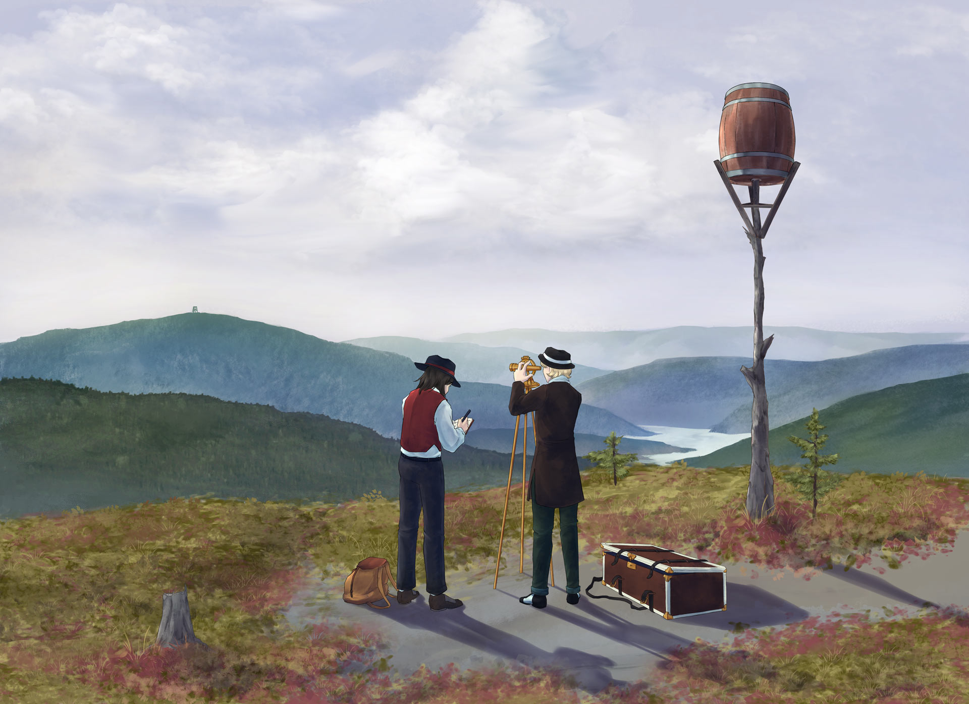
In addition, artist Aliisa Koskela has visualized some of the historical moments about the Struve Geodetic Arc measurements based on the information gathered in the project. The drawings are a fine addition to the information package since the pictorial evidence about the measurements and life in general back in the 1800s is next to non-existent.

@Aliisa Koskela, student of Lapland UAS.
More and more generations and stakeholders involved in Struve Geodetic Arc
In the Northern parts of the World Heritage Struve Geodetic Arc project, a school program was developed. A webinar series and workshops for teachers took place in early 2021. The program is based on the model “Who wants to be an explorer?”. Participants of the program adapted the model to fit the curriculum of their schools. After the webinars and workshops, each school now has a schedule and a plan for activities regarding the World Heritage Struve Geodetic Arc. The project itself also offers further activities for the participants of the school program. For example, there will be school visits to the Alatornio church measuring point and the Museum of Tornio Valley.
Information gathering has involved contacting local people and communities. In many cases, locals know the situation and stories related to measurement points best. Since the information can be utilized in guiding, plans on how to do this, have started in few places.
The Northern parts of the World Heritage Struve Geodetic Arc project team has also cooperated with other World Heritage Sites in Finland. In common workshops, representatives of each World Heritage Site developed a better understanding of their sites. It was a learning experience also because all World Heritage Sites have their own needs and characteristics as well as some similarities.
Many thanks to all our collaborators!


