Location
Muvrávarri / Bealjášvárri. Kautokeino, Troms og Finnmark, Norway.
Coordinates
Lat. 69° 1′ 43″ N
Lon. 23° 18′ 19″ E
Height 585 m
Status
Unesco World Heritage List, Site No. 4
Measurement point of the Struve Geodetic Arc No. 14
Main station point
Distances to other points
Spielgavárri, Norway 22,5 km
Àdjit, Norway 24,5 km
Stuorrahanoaivi, Finland 44,5 km
Jerstivaara, Finland 45 km
Existing marks on stones or ground
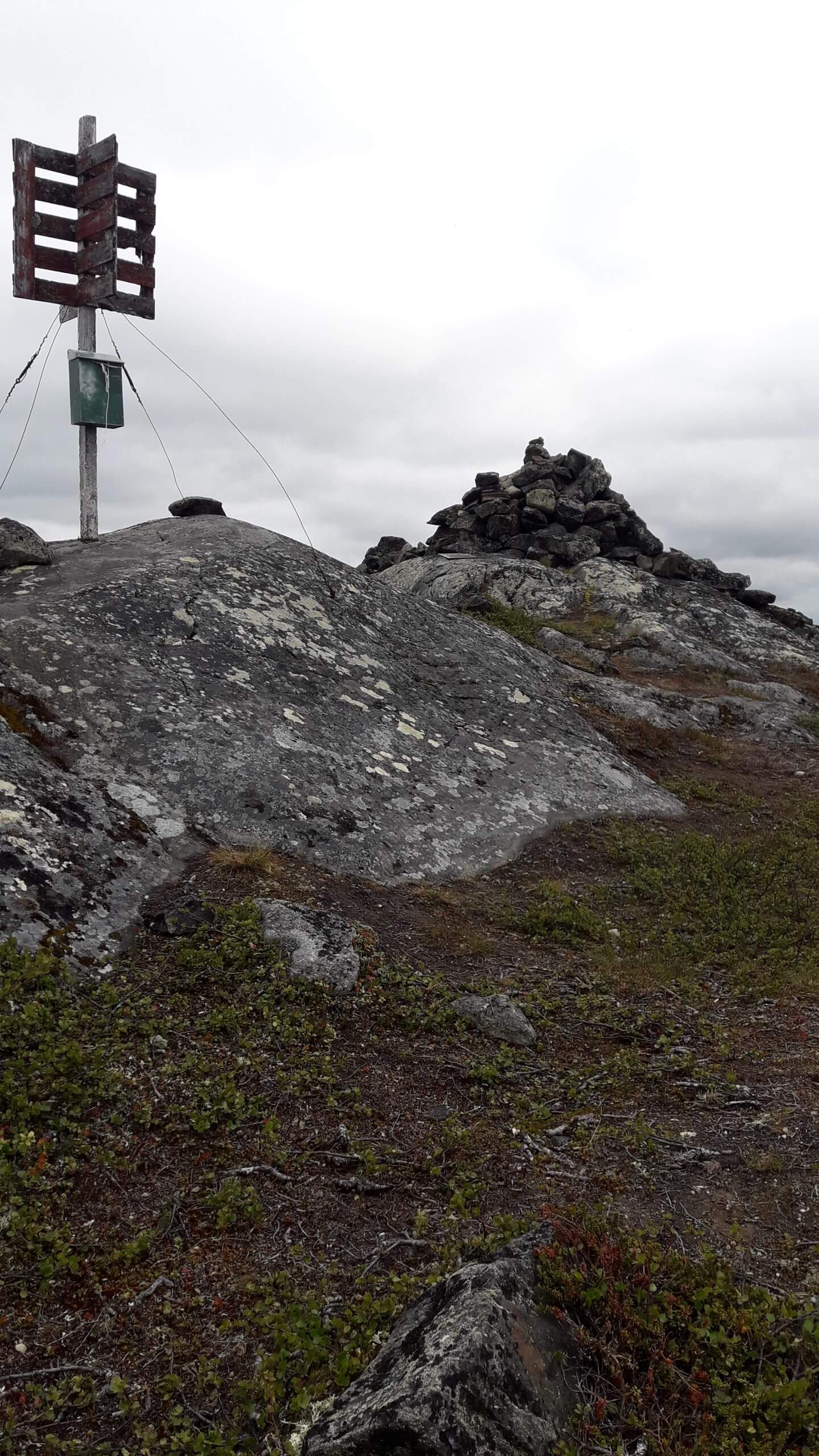
Cairn over point in bedrock. Rebuilt 1896. The station point is on the top of the mountain Bealjášvárri.
The Name information
Name in the “Arc du Méridien de 25º 20′ entre le Danube et la Mer Glaciale mésure depuis 1816 jusqu’en 1855” by F.G.W Struve: BAELJATZ-VAARA.
Land ownership and zoning
Norwegian state represented by Kautokeino municipality. Norwegian Mapping Authority.The Site is conserved by the Act for Ancient Monuments.
Accessibility
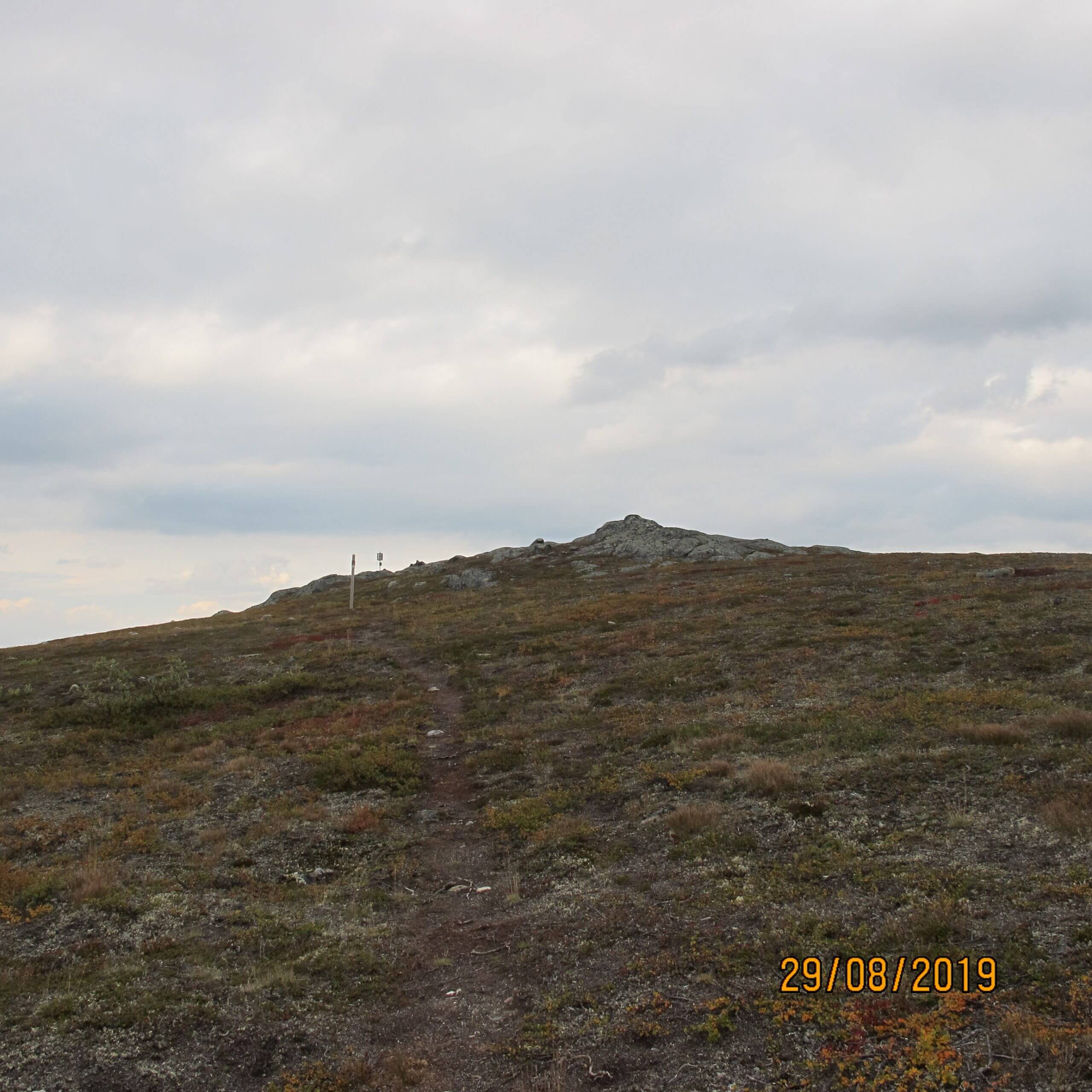
Muvrávarri / Bealjášvárri station point is located on a remote region about 10 km east from Kautokeino. Reaching the point requires hiking through a bog that can be wet. The trail is slightly rising.


