Location
Jupukka. Pajala, Norrbotten, Sweden
Coordinates
Lat. 67° 16′ 36” N
Lon. 23° 14′ 35” E
Height 277 m
Status
Unesco World Heritage List, Site No. 6
Measurement point of the Struve Geodetic Arc No. 24
Main station point
Map of the area
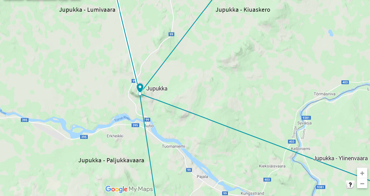
Sightlines to Lumivaara, Kiuaskero, Ylinenvaara, and Paljukkavaara are placed on map.
Visit Struve Geodetic Arc on the Google Maps >
Distances to other points
Lumivaara, Sweden about 31,5 km
Kiuaskero, Finland about 39,5 km
Ylinenvaara, Finland about 31,0 km
Paljukkavaara, Sweden about 34,5 km
Existing marks on stones or ground
The central position of the station point can be identified, reference marks do not exist.
The Name information
Name in the “Arc du Méridien de 25º 20′ entre le Danube et la Mer Glaciale mésure depuis 1816 jusqu’en 1855” by F.G.W Struve: KERROJUPUKKA.
Land ownership and zoning
Ownership
State-owned. The Kingdom of Sweden, Swedish Environmental Protection Board.
Management of the site
National Land Survey of Sweden, National Heritage Board, Länsstyrelsen in Norrbotten. The Struve Geodetic Arc site is protected under the Ancient Monument Act.
Legal status
The Struve Geodetic Arc survey station is on the property Pajala ERKHEIKKI 1:32, Nature preservation area.
Protectorates, nature reserves
Nature Preservation Area was instituted in 1977.
Nature and description of environment
Vegetation
Gyllenmossa – Woolly Feather-moss (lat. Tomentypnum nitens)
Purpurvitmossa – Warnstorf’s Bog-moss (lat. Sphagnum warnstorfii)
Svanmossa – Broad-nerved Hump-moss (lat. Meesia uliginosa)
Kärrbräken – Marsh Fern (lat. Thelypteris palustris)
Birch trees
Accessibility
Jupukka is situated close to the Torne river in Pajala municipality in northern Sweden. It is about 10 km north of Pajala village.
From Pajala take road 99 towards Karesuando. After about 7 km turn to the right to stay on road 99. There is a sign about Struve Geodetic Arc “Struves meridianbåge mätpunkt Jupukka”.
After about 1 km turn to the left to stay on the road 99.
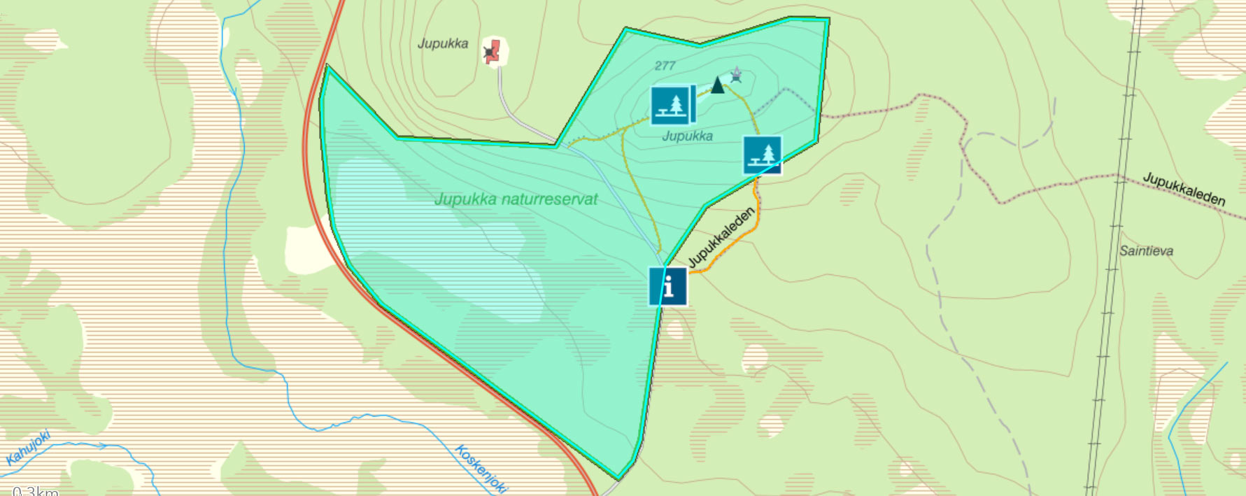
After about 1,5 km a sign about Struves Geodetic Arc points to the right. A gravel road leads to the parking lot and the trailhead is marked with an info board.
The top of Jupukka is about 600 m away from the parking.
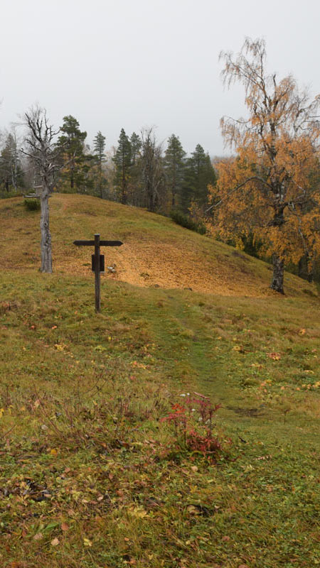
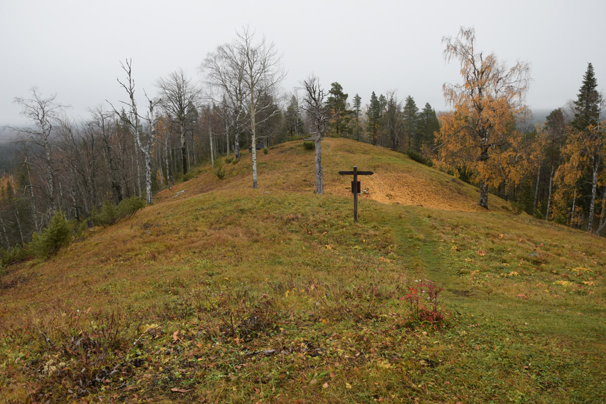
The view from the top of Jupukka is excellent on a sunny day.
Constructions
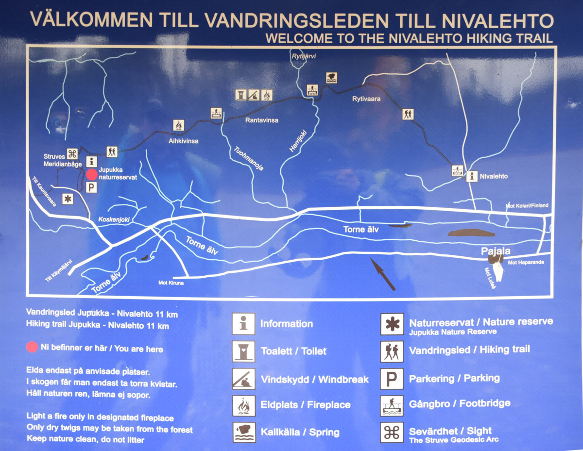
- Information board
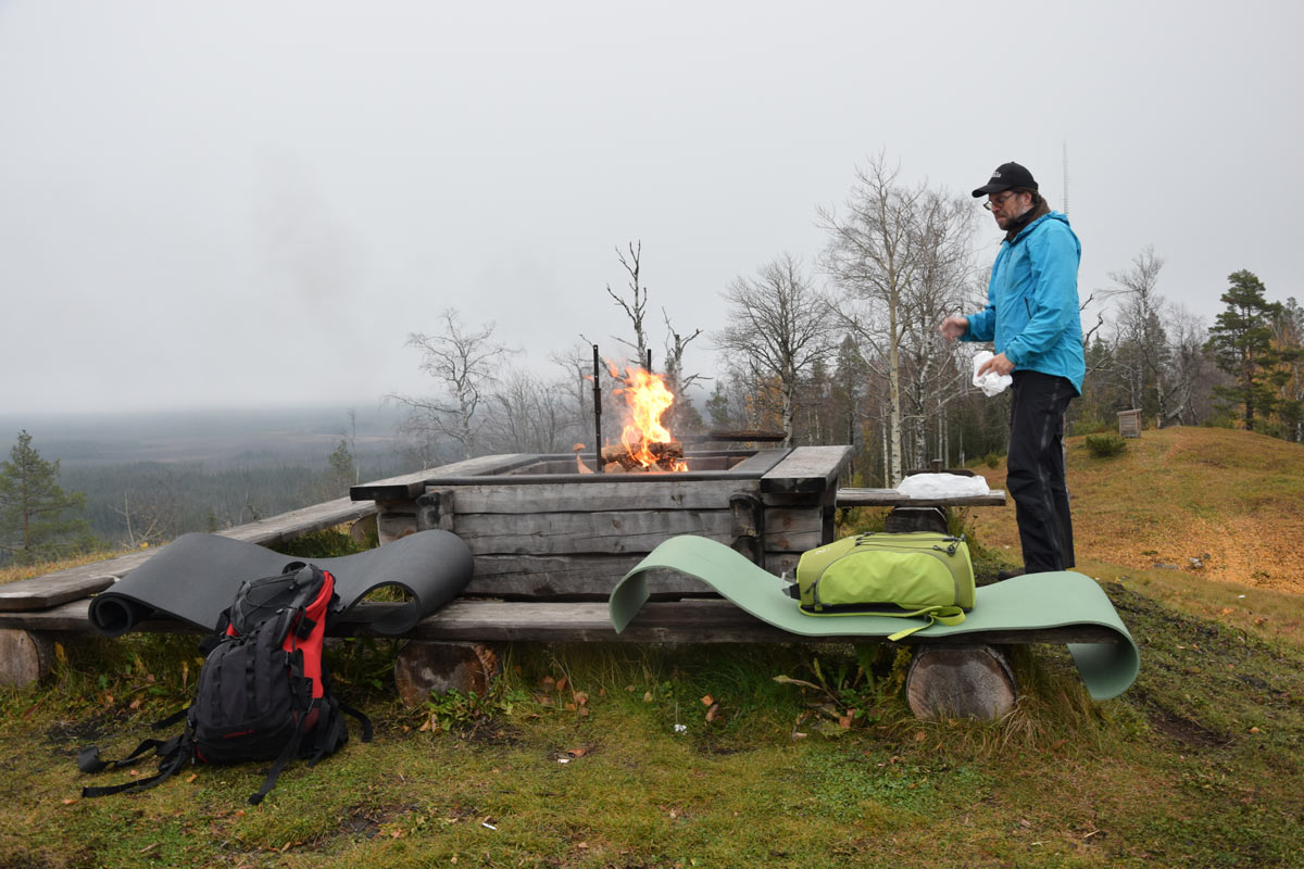
- Campfire site
- Rest cabin
- Resting place
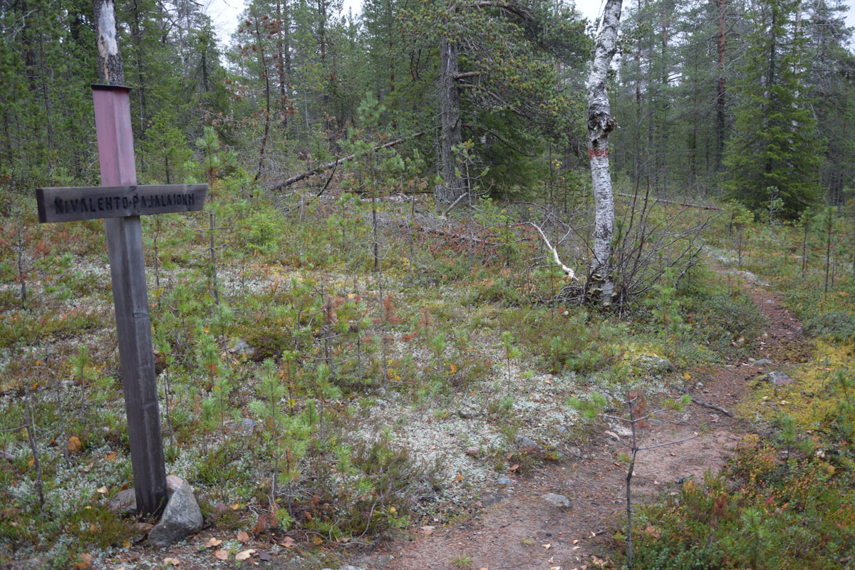
- Marked trail
- Stairs
Other interesting in the area
Jupukka Nature Reserve
Because of its special characteristics, Jupukka is a Nature Reserve. The area encloses mire Poromaanjänkkä at the foot of the mountain. A marked trail runs in the reserve.
Jupukka – Nivalehto Hiking Trail
11 km hiking tral.


