Location
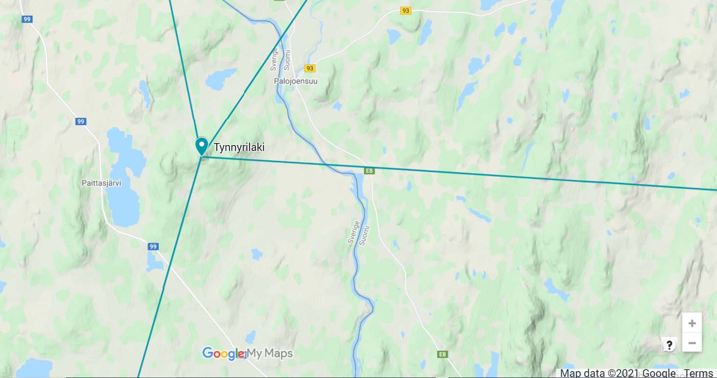
Tynnyrilaki. Kiruna, Norrbotten, Sweden
Coordinates
Lat. 68° 15′ 18” N
Lon. 22° 58′ 59” E
Height 445 m
Status
Unesco World Heritage List, Site No. 5
Measurement point of the Struve Geodetic Arc No. 18
Main station point
Existing marks on stones or ground
The original station point was a wooden signal construction.
A cross carved to rock can be found.
The Name information
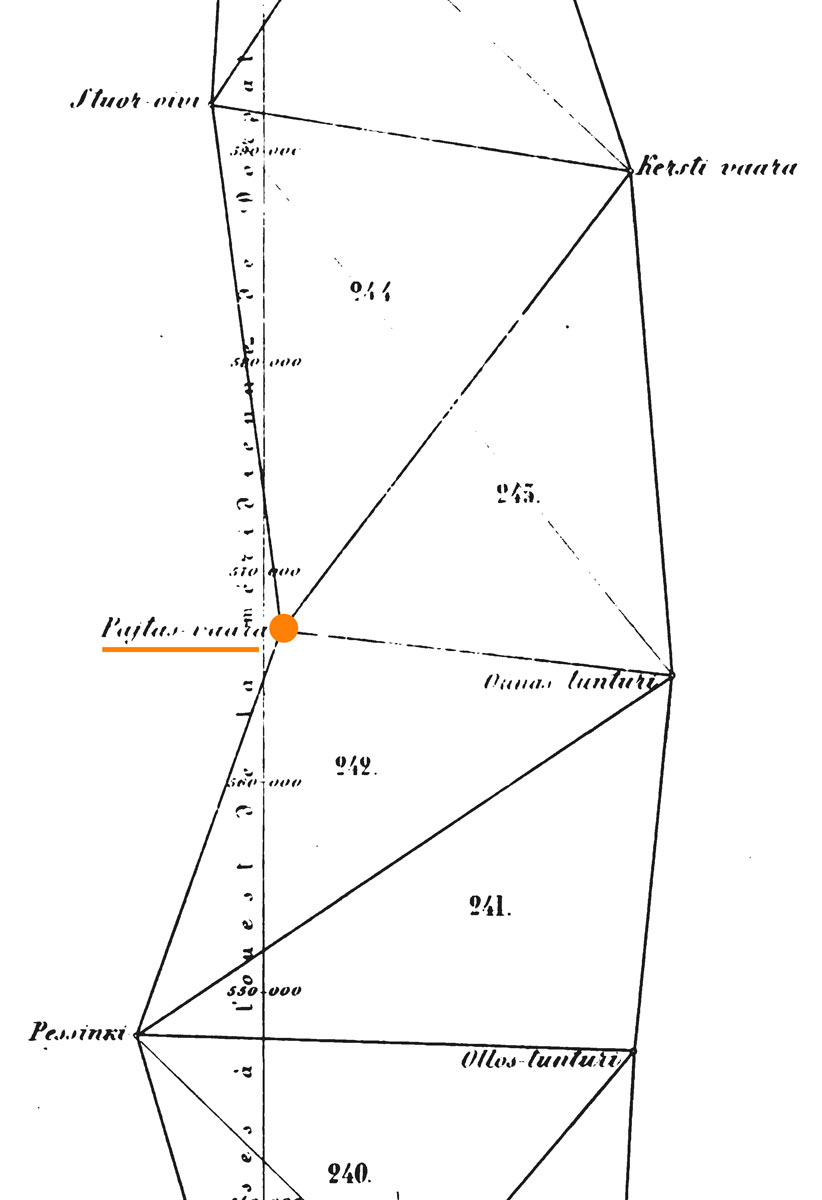
Name in the “Arc du Méridien de 25º 20′ entre le Danube et la Mer Glaciale mésure depuis 1816 jusqu’en 1855” by F.G.W Struve: PAJTAS-VAARA.
Land ownership and zoning
Ownership
Privately owned.
Management of the site
National Land Survey of Sweden, National Heritage Board, Länsstyrelsen in Norrbotten. The Struve Geodetic Arc site is protected under the Ancient Monument Act.
Accessibility
Tynnyrilaki is part of Pingisvaara mountain area in the north of Sweden near the border of Finland and Sweden. Tynnyrilaki is the northernmost station point of the Struve Geodetic Arc in Sweden. Tynnyrilaki is near the road 99 from Karesuando to Saivomuotka.


