Location
Pullinki. Övertorneå, Norrbotten, Sweden
Coordinates
Lat. 66° 38′ 47” N
Lon. 23° 46′ 55” E
Height 335 m
Status
Unesco World Heritage List, Site No. 7
Measurement point of the Struve Geodetic Arc No. 30
Main station point
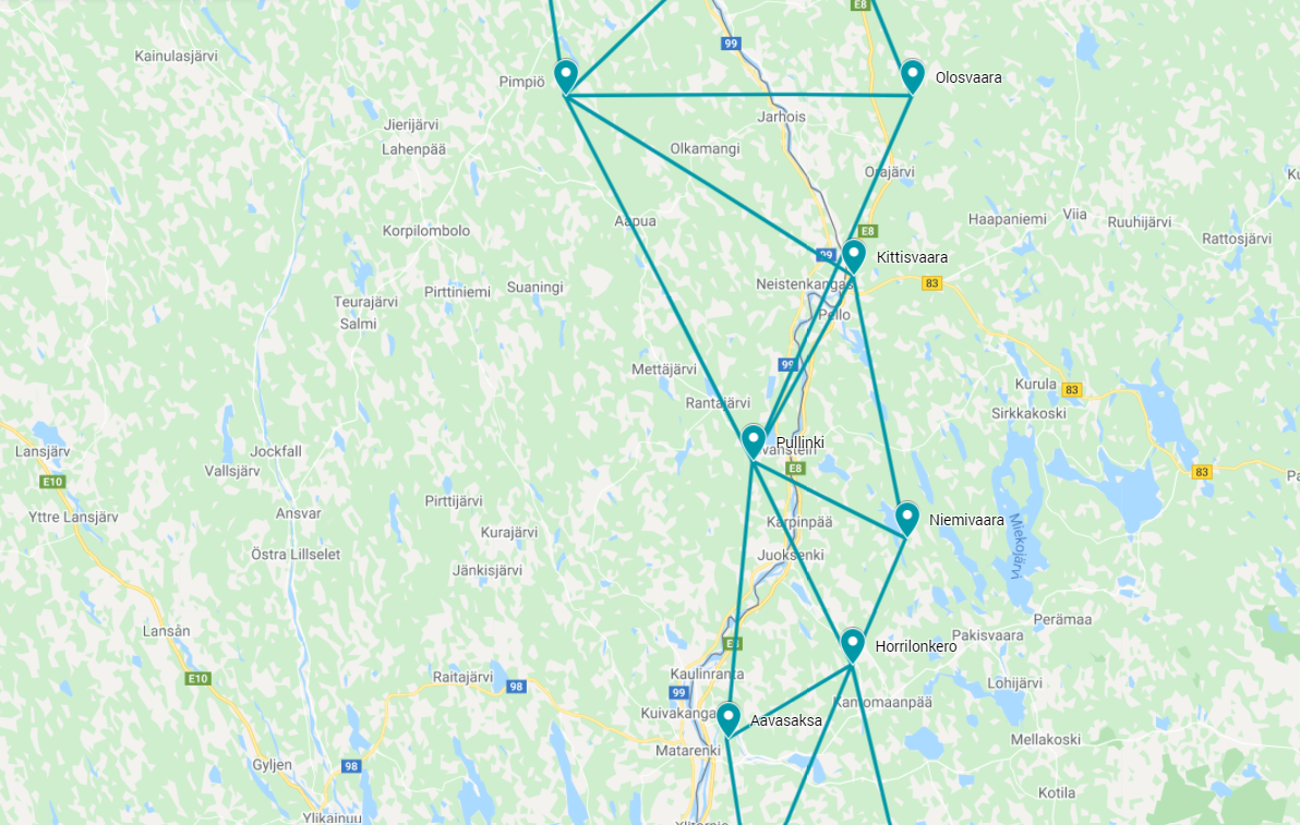
Map of the area
Sightlines to Paljukkavaara, Olosvaara, Kittisvaara, Niemivaara, Horrilonkero, and Aavasaksa are placed on map.
Visit Struve Geodetic Arc on the Google Maps >
Distances to other points
Paljukkavaara, Sweden about 40,5 km
Olosvaara, Finland about 39 km
Kittisvaara, Finland about 21 km
Niemivaara, Finland 17 km
Horrilonkero, Finland 22,5 km
Aavasaksa, Finland 28 km
Measurements
1736-1737 Maupertuis
1801-1803 Svanberg
1845 Selander
Modern national triangulation point
Existing marks on stones or ground
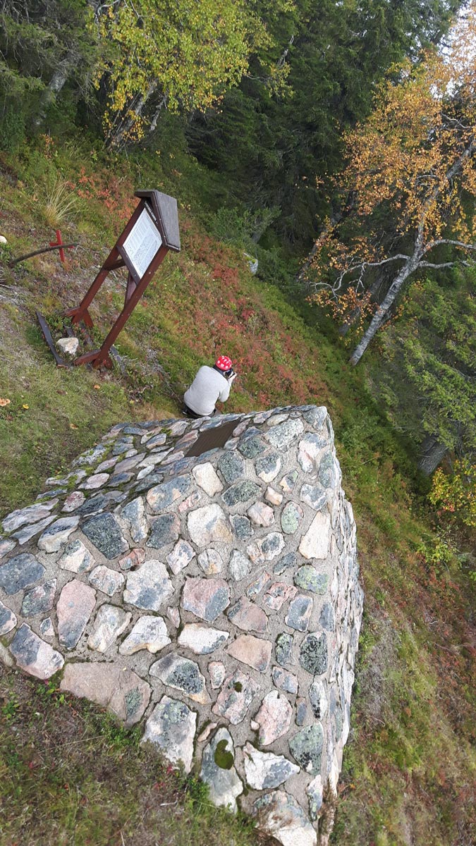
No visible surface marks from the Struve Geodetic Arc measurements. A pyramid-shaped monument was built in 1985, on top of the original station point.
The Name information
Name in the “Arc du Méridien de 25º 20′ entre le Danube et la Mer Glaciale mésure depuis 1816 jusqu’en 1855” by F.G.W Struve: PULLINKI.
Land ownership and zoning
Ownership
Privately owned.
Management of the site
National Land Survey of Sweden, National Heritage Board, Länsstyrelsen in Norrbotten. The Struve Geodetic Arc site is protected under the Ancient Monument Act.
Accessibility
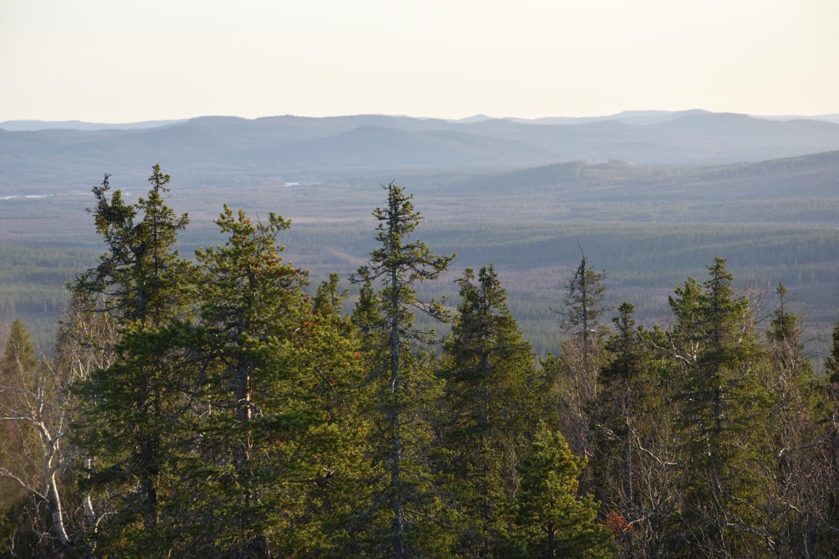
The World Heritage Site of Pullinki is close to a ski resort in Svanstein, Övertorneå, Sweden. Pullinki is a steep and forested mountain dominating the surrounding landscape.
Directions from Övertorneå to Pullinki
From Övertorneå the road 99 leads towards north to Svanstein. After about 36 km turn to the left to road 857.
The road signs guide to Struve Geodetic Arc trail head.
The top of the Pullinki mountain is about 1,5 km from Svanstein Ski resort.
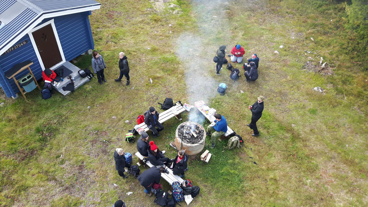
On the top, there is a lookout tower, an information board about the Struve Geodetic Arc, and a pyramid-shaped monument built-in 1985 celebrating the history of triangular measurements.
The wide view of the Torne River Valley allows one to pinpoint locations of several measuring sites of the Struve Geodetic Arc in Finland. For example, the World Heritage Site of Aavasaksa is right across the river in Finland.


