Location
Perävaara. Haparanda, Norrbotten, Sweden
Coordinates
Lat. 66º 01′ 05” N
Lon. 23º 55′ 21” E
Height 89 m
Status
Unesco World Heritage List, Site No. 8
Measurement point of the Struve Geodetic Arc No. 34
Main station point
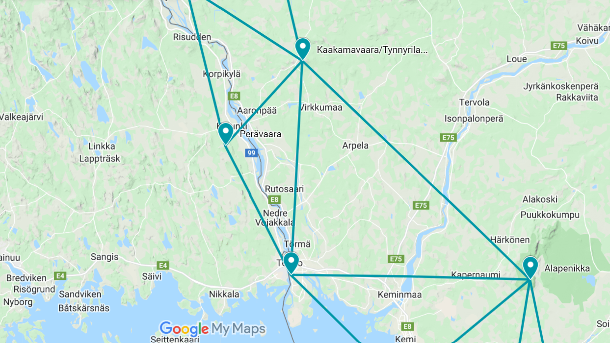
Map of the area
Sightlines to Huitaperi, Kaakamavaara, and Alatornio church are placed on map.
Visit Struve Geodetic Arc on the Google Maps >
Distances to other points
Huitaperi, Sweden, about 26 km
Kaakamavaara, Finland, about 19 km
Alatornio church, Finland, about 24 km
Measurements
1845 N.H. Selander
Modern national triangulation point
Existing marks on stones or ground
Single cross in rock on the station point.
The Name information
Name in the “Arc du Méridien de 25º 20′ entre le Danube et la Mer Glaciale mésure depuis 1816 jusqu’en 1855” by F.G.W Struve: PERRA-VAARA.
Land ownership and zoning
Ownership
Privately owned.
Management of the site
National Land Survey of Sweden, National Heritage Board, Länsstyrelsen in Norrbotten. The Struve Geodetic Arc site is protected under the Ancient Monument Act.
Accessibility
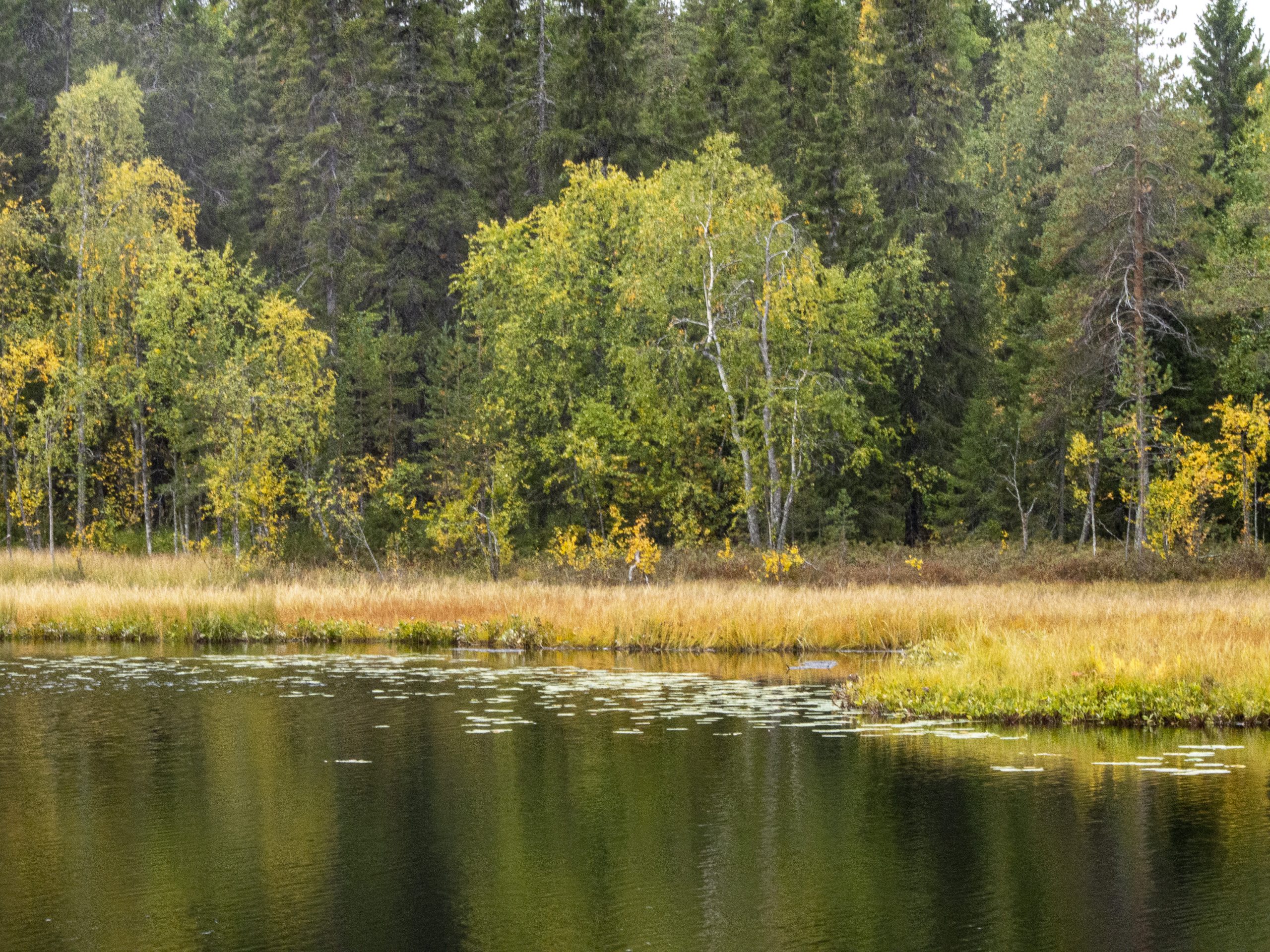
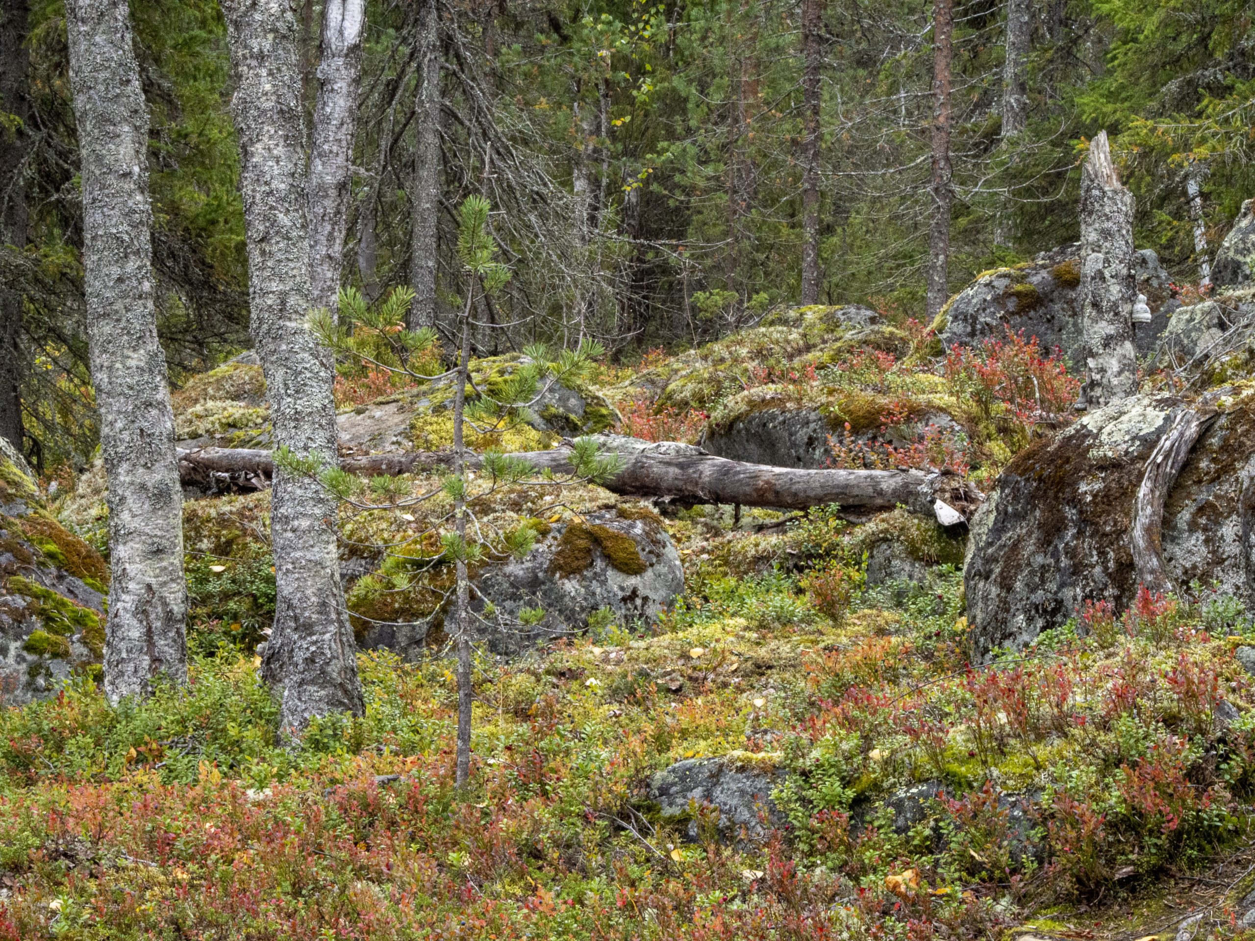
The station point of Perävaara is in the coastal district of Norrbotten county. It is on a relatively flat Alanen-Perävaara hill that is covered with forest. The other station points can not be seen from the site.
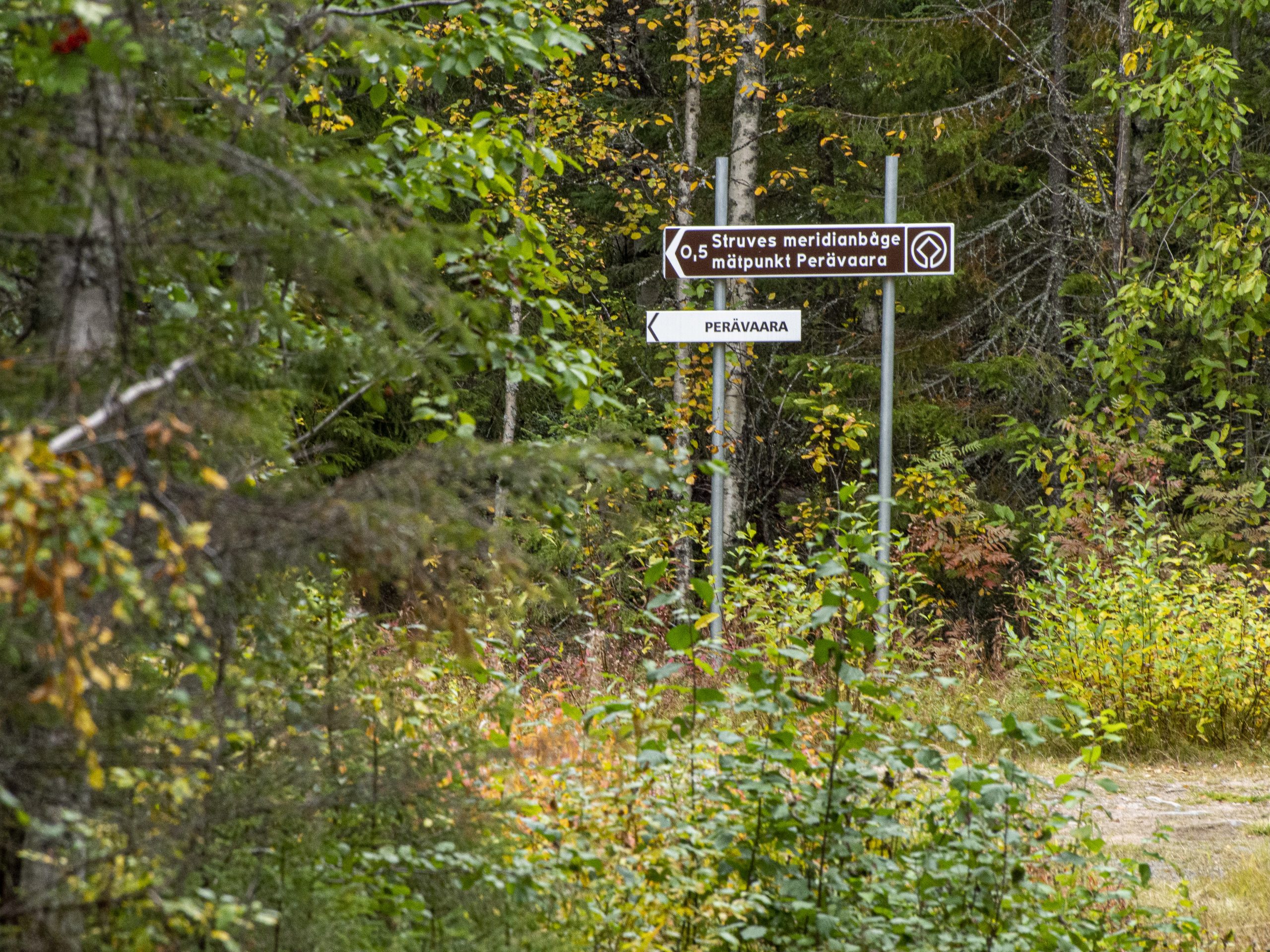
Road signs point to the Struve Geodetic Arc World Heritage Site. The Perävaara hill is about 25 kilometres from Haparanda city to the north near road 99.
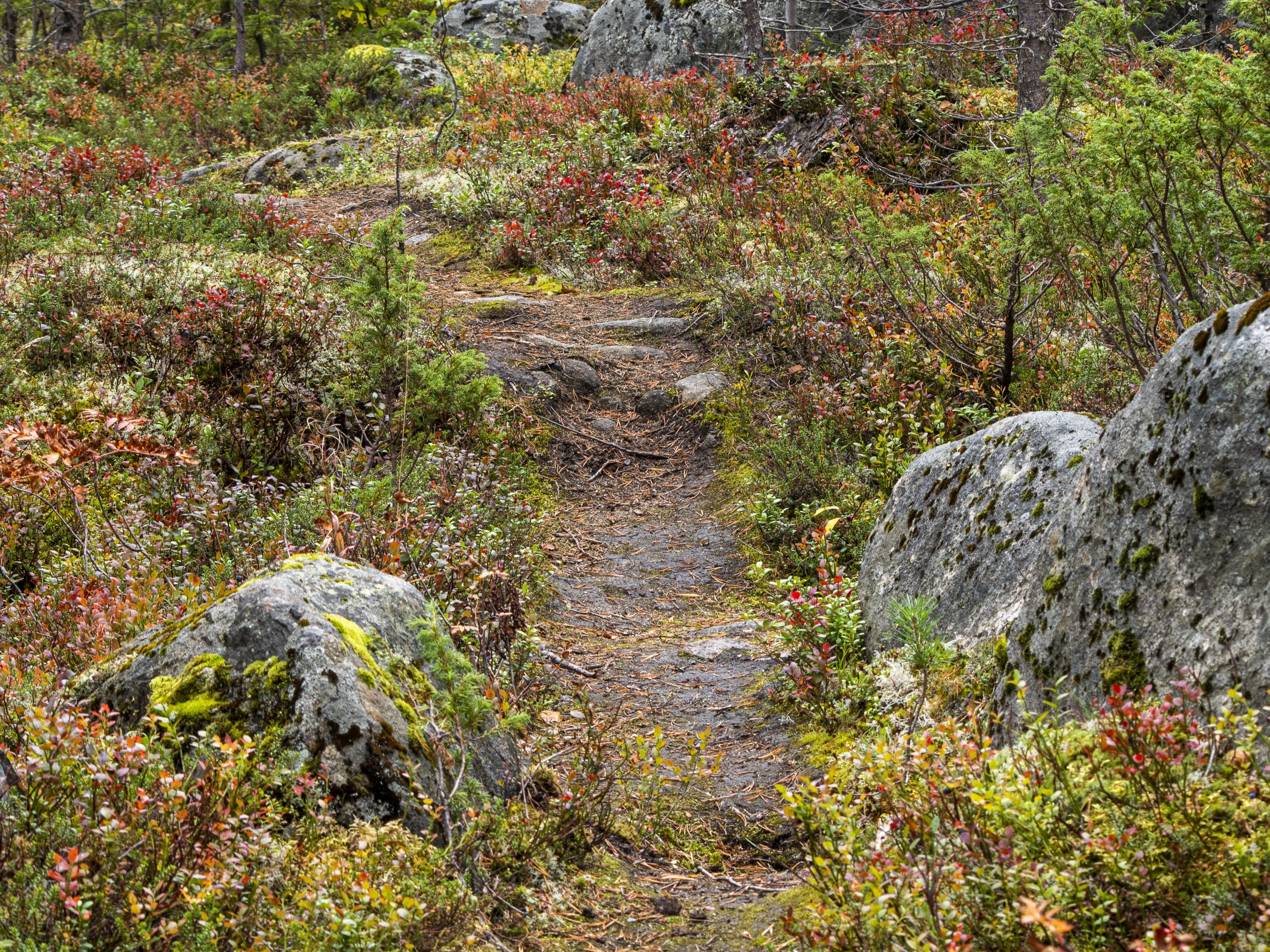
The first parking place is located about 5 km from the top. The final 500 m to the top is a rocky path. The path is marked.
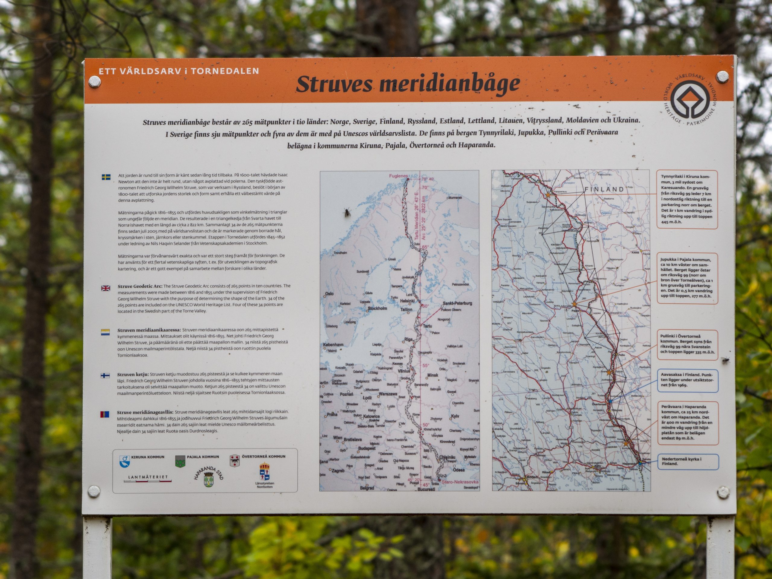
Info boards on several locations:
- 5 km from the top, near the parking place
- 500 m from the top.
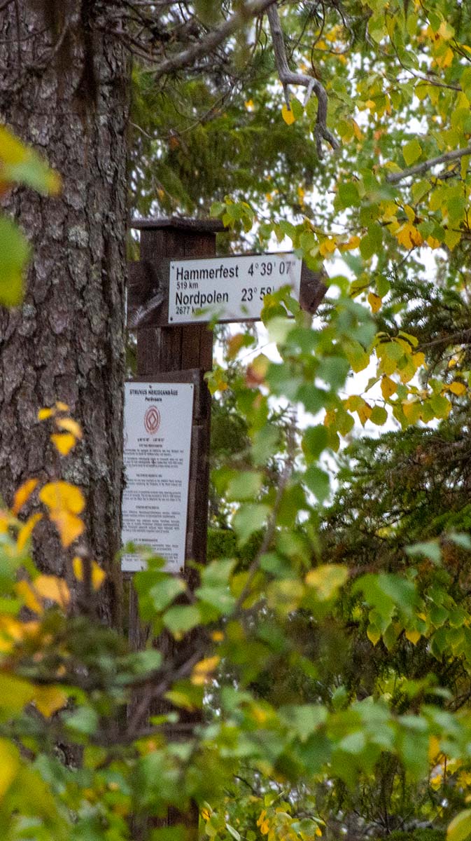
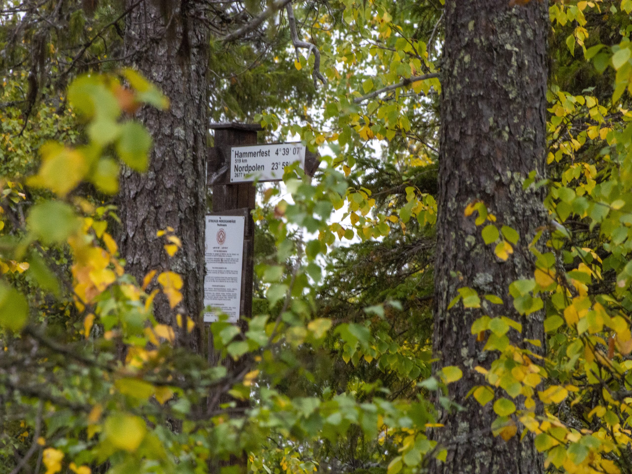
- on the site
It is possible to drive close to the station point in the summertime. The last 3 km to the station point is difficult to navigate. It is recommended to take a car with high ground clearance as the road is narrow and bumpy.


