Location
Stuorrahanoaivi. Enontekiö, Lappi, Finland
Coordinates
Lat. 68° 40′ 57″ N
Lon. 22° 44′ 45″ E
Height ~600 m
Status
Unesco World Heritage List, Site No. 9
Measurement point of the Struve Geodetic Arc No. 16
Main station point
Astronomical station point
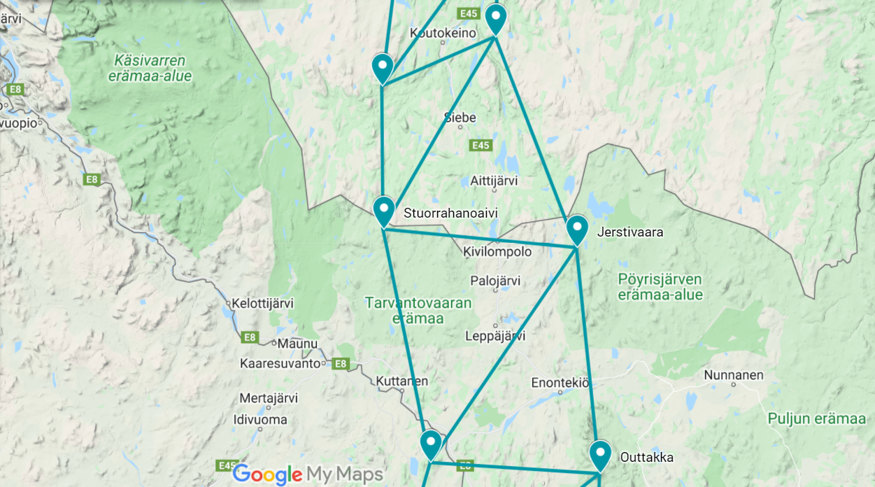
Map of the area
Sightlines to nearest points are placed on map.
Visit Struve Geodetic Arc on the Google Maps >
Distances to other points
Ádjit, Norway, about 28,5 km
Muvravárri, Norway, about 44,5 km
Jierstivaara, Finland, about 39 km
Tynnyrilaki, Sweden, about 49 km
Measurements
1847, 1850,1852 Struve Geodetic Arc measurements,
1895 Station point added to Norwegian triangulation network.
Existing marks on stones or ground
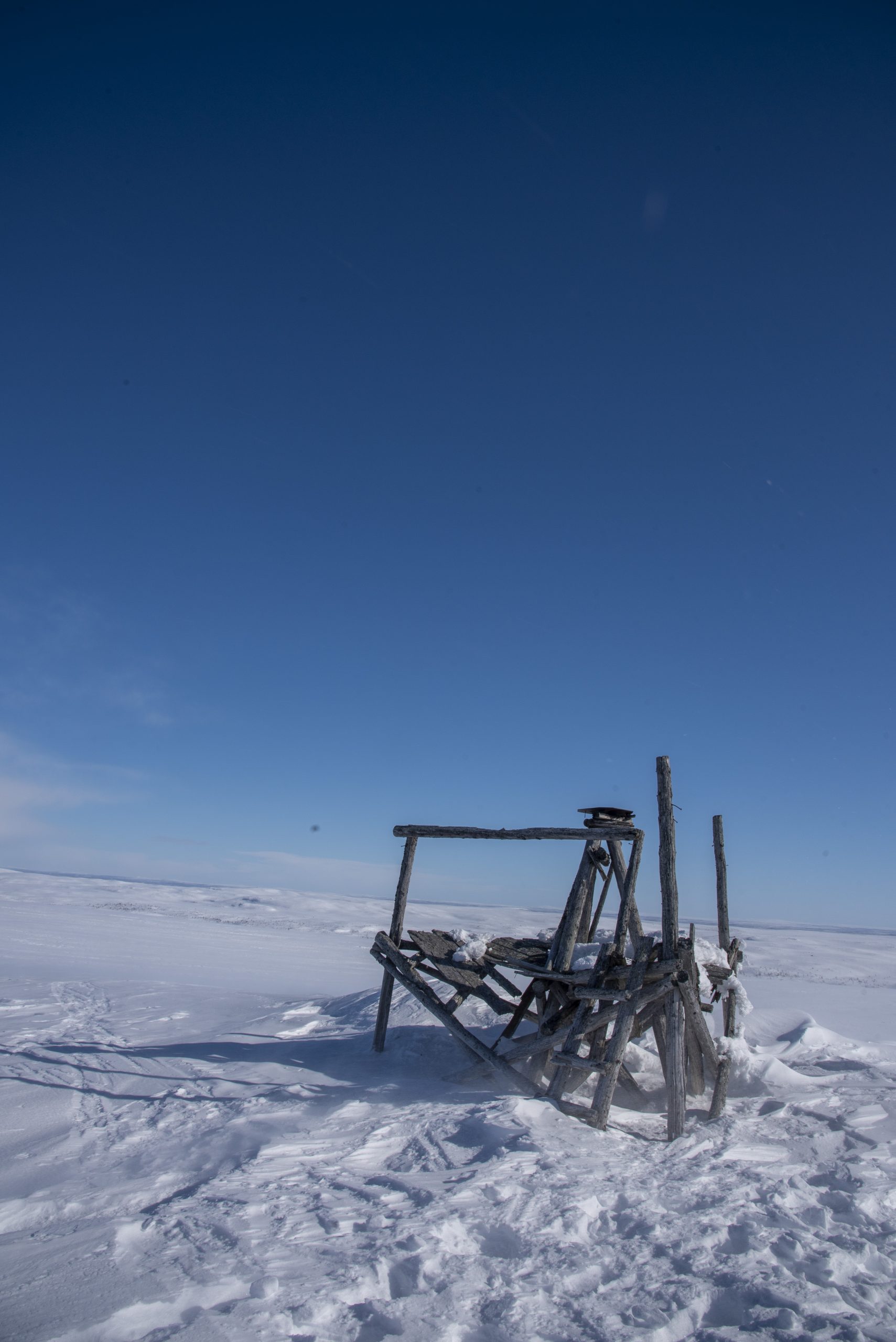
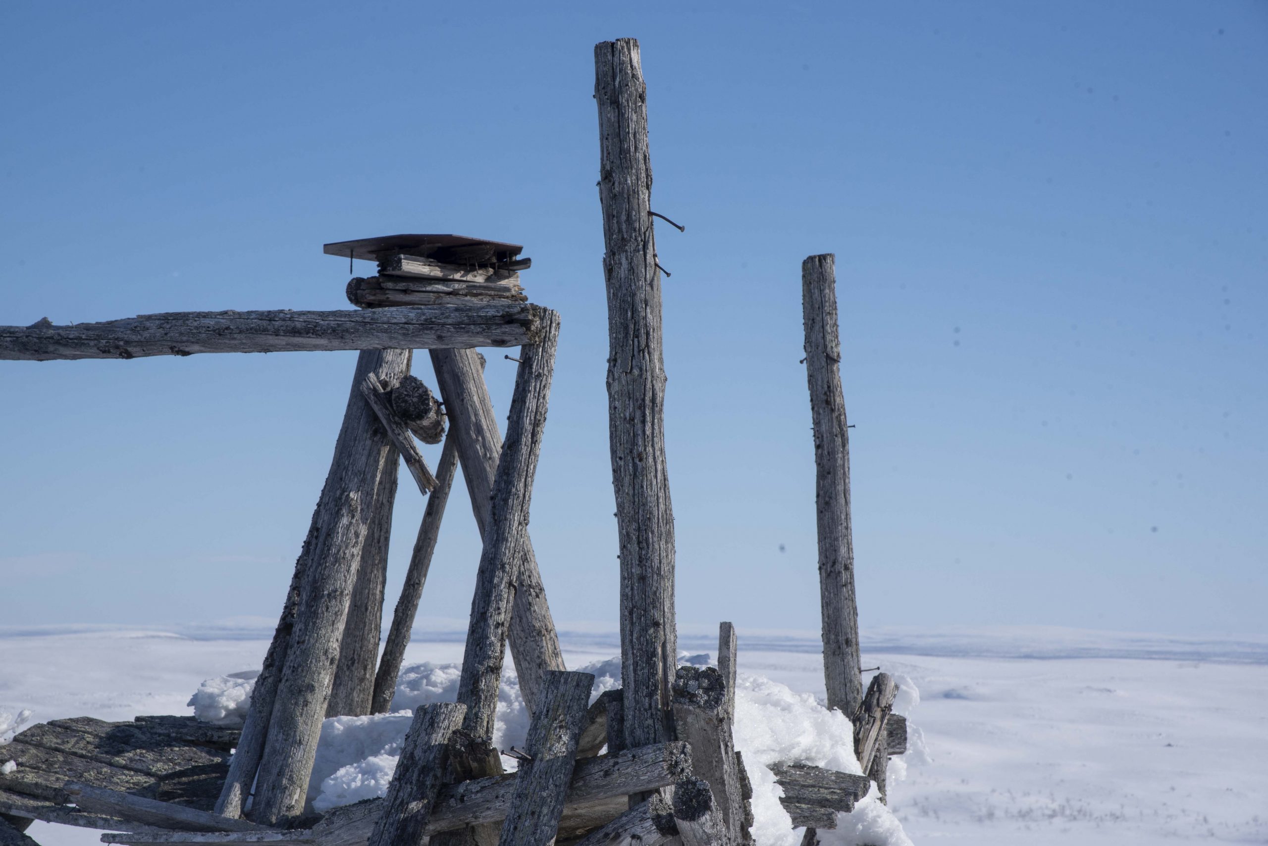
The station point was marked with two crosses on the rocks of Stuorrahanoaivi in 1847-52. The centre mark was replaced with a bolt in 1895.
The Name information
Name in the “Arc du Méridien de 25º 20′ entre le Danube et la Mer Glaciale mésure depuis 1816 jusqu’en 1855” by F.G.W Struve: STUOR´OIVI.
Land ownership and zoning
Ownership
The property belongs to the Wilderness of Tarvantovaara (“Tarvantovaaran Erämaa-alue”), “Erämaalaki”, the Finnish Law 17.1.1991/62. The register number of the property is 47-893-10-1.
Management of the site
The GOVERNMENT of FINLAND / Metsähallitus.
The property is served by the Act for Ancient Monuments, The Finnish Law Nr 295/1963, 17.6.1963. The area around is preserved also by the law of “Tarvantovaara Wilderness”, The Finnish Law Nr. 62/17.1.1991 (Erämaalaki).
Accessibility
A trip to Stuorrahanoaivi is for experienced hikers.
The World Heritage Site of Stuorrahanoaivi is located in a highly remote location in the Tarantovaara wilderness in Northern Finland. There are no permanent settlements in the area; the local people visit the area for hunting, fishing, reindeer husbandry, and recreation. A trip to Stuorrahanoaivi requires proper planning, equipment, and extensive experience in hiking.
Tarantovaara wilderness area is situated between Leppäjärvi village in the east, Kaaresuvanto village in the south, and the border of Finland and Norway in the north. Distance to the nearest roads is about 25-30 kilometres. The route to Stuorrahanoaivi is not marked, and the visitor should be prepared to spend 1-4 nights in a tent or an open wilderness hut (Syväjärvi hut or Salvasjärvi hut).
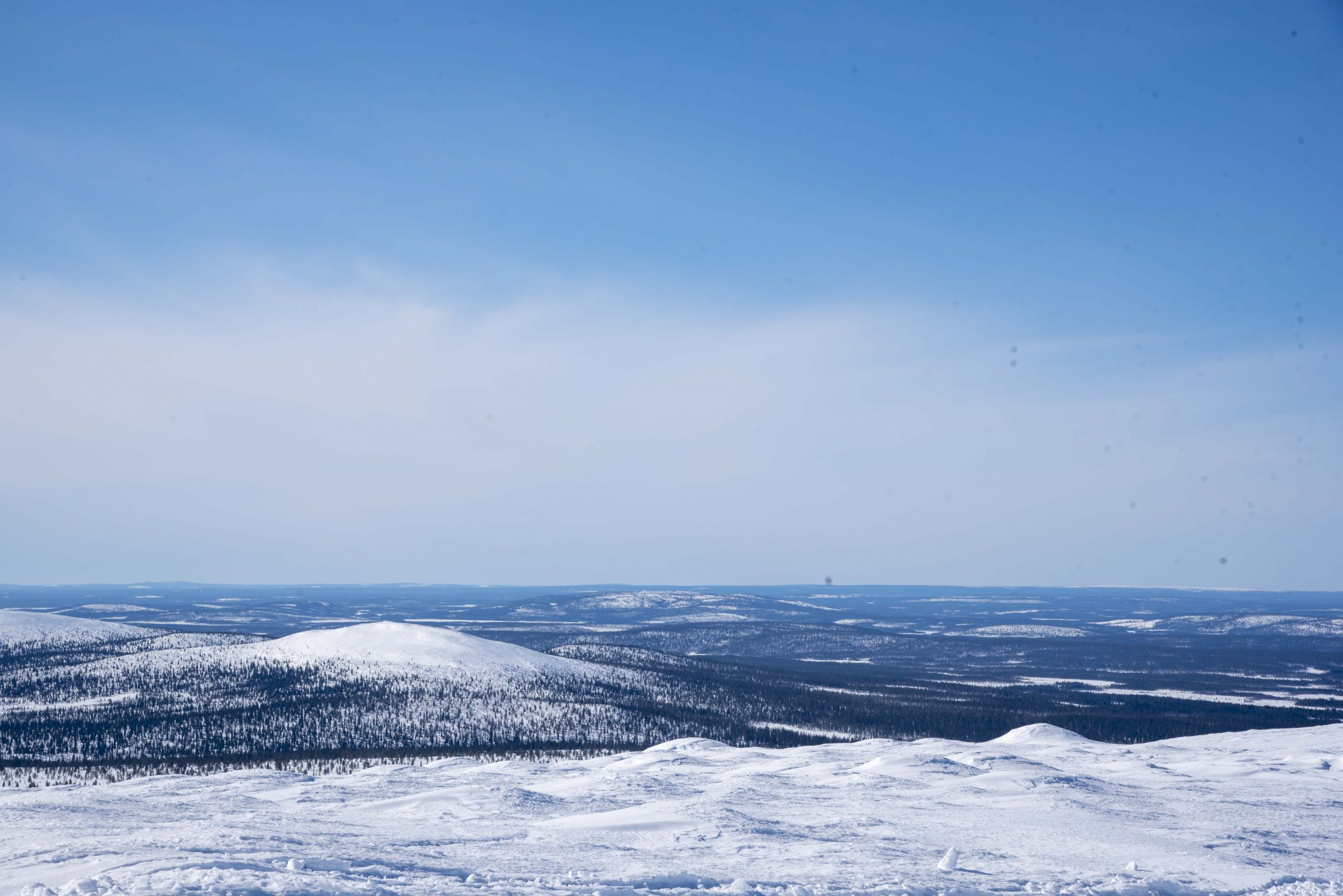
The station point at Stuorrahanoaivi offers an open view of the surrounding mountains.
Other attractions in the area
Birdwatching
The Tarvantovaara wilderness area and Lätäseno-Hietajoki Mire Reserve in the northwest have an incredibly diverse bird population.
Fell Lapland Visitor Centre in Enontekiö (Hetta)
Fell Lapland Visitor Centre offers guidance to Pallas-Ounas National Park and hiking routes in the area and services available. A free Vuovjjuš-Kulkijat exhibition introduces visitors to Sámi culture and fell nature. The centre organises changing art exhibitions, Nature Talks, and other events. The centre offers maps and local products at shops. Café.


