Alatornio church

Tornio and the measuring of the Earth

Tornio and the measuring of the Earth

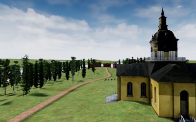
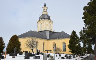
Contents of this page Tornio attracted scientists The Alatornio church and Kokkomäki hill as station points Astronomy research station Trips to Kaakamavaara and Kivalo The Struve Geodetic Arc, a World Heritage Map of Alatornio area   Tornio attracted scientists...
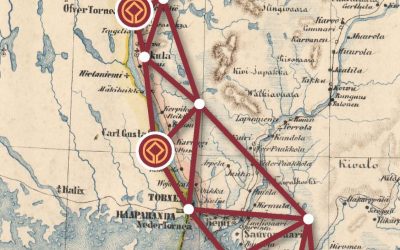
read more
3D modeling of Alatornio church

3D modeling of Alatornio church

The goal of Alatornio church modelling project is to produce a virtual reality scenario where the user will be able to experience how it was to measure landscape in the historical 1800 century environment. With the project we can raise awareness of the Struve Geodetic Arc excursion and how scientists and other people who joined the journey managed to do it all so many years ago.

read more
Visits to sites in 2020

Visits to sites in 2020

The Struve Geodetic Arc points have an interesting historical background and are usually surrounded by wonderful nature. Jarno Niskala, project coordinator working in Tornio gives some details of the sites situated in Torne Valley.

read more
Social media & sharing icons powered by UltimatelySocial